
 The Garuda Mobile App
Complete user reference and download deployment matrix for the authorized Garuda Surveillance mobile terminal. Retrieve locations, track links, and verify evidence anywhere in the field.
About The Garuda
The Garuda is a mobile application designed to support authorized investigators by providing access to a range of telecom analysis and investigation tools. The application enables users to retrieve cellular tower information, analyze routes, perform Cell ID searches, obtain network-related information, and verify digital evidence through an intuitive and secure interface. Access to the application is restricted to approved users, ensuring that only authorized personnel can utilize its features.
Tower Dump
The Tower Dump feature enables users to identify cellular towers located within a selected geographical area. By using the device's current location or manually entering latitude and longitude coordinates, users can search for nearby telecom towers within a specified radius. This feature helps investigators quickly understand the cellular infrastructure surrounding a location of interest.
Cell ID Lookup
The Cell ID Lookup feature allows users to retrieve detailed information about one or more Cell IDs. After entering the required Cell ID, the application displays information such as the telecom operator, tower location, geographic coordinates, and sector direction. This assists investigators in identifying the location and characteristics of specific cellular towers.
Route Dump
The Route Dump feature helps users analyze telecom towers located along a selected travel route. By defining a route and search radius, the application identifies cellular towers situated near the path, enabling investigators to study telecom coverage and movement patterns across different locations.
IP Lookup
The IP Lookup feature provides publicly available information associated with an IP address. Users can retrieve details such as the approximate geographic location, internet service provider, and network information, making it useful for network-related investigations.
Suspect Track
The Suspect Track feature assists investigators in analyzing movement based on multiple Cell IDs. It enables users to visualize location history and movement patterns by mapping cellular tower connections, helping reconstruct travel sequences during investigations.
CCTV Calice
The CCTV Calice feature helps synchronize timestamps from multiple CCTV recordings. It assists investigators in comparing recordings from different surveillance systems, making it easier to establish an accurate timeline of events during an investigation.
Hash Value Utility
The Hash Value Utility allows users to generate and verify cryptographic hash values for digital files. This feature helps confirm the integrity of digital evidence by ensuring that files have not been altered or modified after collection.
User Registration and Login
To access the application, users must first complete the registration process by providing the required information. After registration, the account is reviewed by the system administrator. Once approved, users can log in using their registered credentials and begin using the available investigation tools.
Security
The Garuda employs secure access controls to protect sensitive investigation data. Each account requires administrator approval before use, and access may be restricted if the account is deactivated or the subscription expires. Users are advised to keep their login credentials confidential and use the application only on their authorized device.
Garuda App Terminal
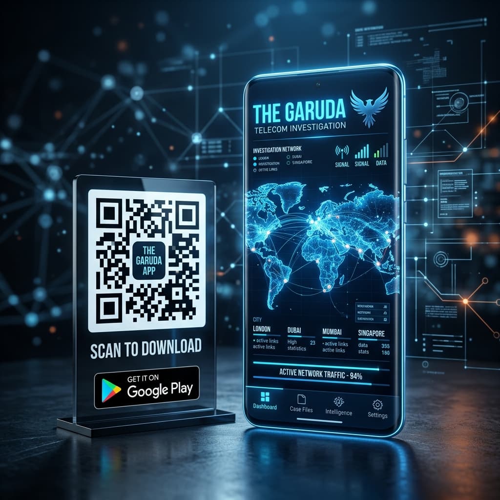
Scan to instantly access the download catalog from your tactical mobile device.
Get it on Google PlayThis software is restricted. Credentials must be pre-authorized by an administrator. System logins are audited, including active IP addresses, hardware fingerprints, and geolocation coordinates.