Geographical Analysis & Tower Tracking
Cellular tower sector mapping, suspect movement trajectory reconstruction, and virtual geofencing.
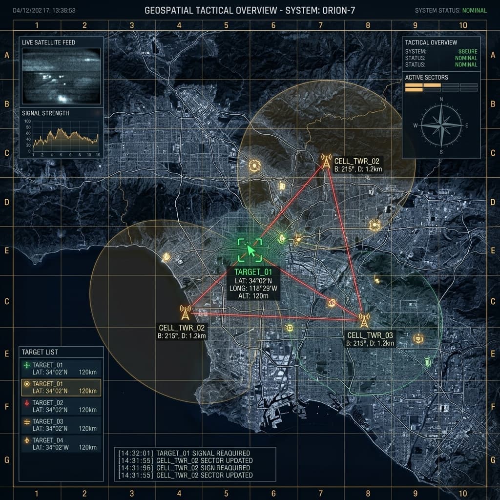
The Geographical Analysis service maps mobile tower connections and spatial location pings into clear visual maps, helping intelligence teams reconstruct suspect routes and monitor perimeter boundaries.
Overview
Spatial location awareness is critical during ongoing field operations and tactical investigations. Our Geographical Analysis service converts complex latitude, longitude, and tower azimuth data into interactive maps that display suspect movement paths, convergence zones, and perimeter alerts.
Cell Tower Mapping
Visualizes cellular tower locations and sector coverage angles across urban and rural regional infrastructure.
Route Reconstruction
Displays time-sequenced movement paths to help analysts understand target travel history and speed.
Geofence Boundaries
Allows investigators to set up virtual perimeters around sensitive areas to receive alerts when monitored devices enter.
Location Convergence
Identifies overlapping spatial locations where multiple target devices were active at the same time.